The rear of the British Golf Museum, St Andrews- geograph-6167400-by-Richard-Sutcliffe (cropped).jpg
From WhereToday Expounder
File:The rear of the British Golf Museum, St Andrews- geograph-6167400-by-Richard-Sutcliffe (cropped).jpg
No higher resolution available.
The_rear_of_the_British_Golf_Museum,_St_Andrews-_geograph-6167400-by-Richard-Sutcliffe_(cropped).jpg (573 × 364 pixels, file size: 40 KB, MIME type: image/jpeg)
Summary
| Description |
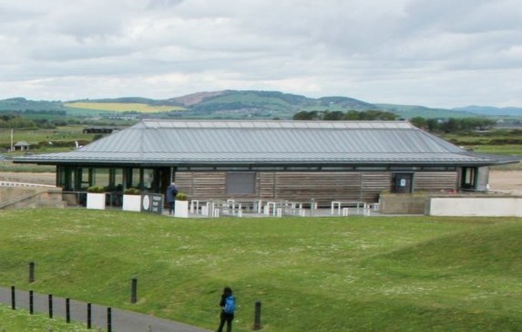
English: Bandstand at the Butts, St Andrews |
| Date | |
| Source |
This file was derived from: Bandstand at the Butts, St Andrews- geograph-6167400-by-Richard-Sutcliffe.jpg |
| Author | Richard Sutcliffe |
| Permission (Reusing this file) |
Creative Commons Attribution Share-alike license 2.0 |
| Attribution (required by the licence) | Richard Sutcliffe / Bandstand at the Butts / |
| Camera location | | View this and other nearby images on: OpenStreetMap |
|---|
| Object location | | View this and other nearby images on: OpenStreetMap |
|---|

.jpg)
.jpg¶ms=056.343394_N_-002.800434_E_globe:Earth_type:camera_source:geograph-osgb36(NO50621707)_heading:292.00&language=en-gb)
.jpg¶ms=056.343570_N_-002.801250_E_globe:Earth_class:object_type:object_source:geograph-osgb36(NO50571709)_heading:292.00&language=en-gb)
Licensing
This file is licensed under the Creative Commons Attribution-Share Alike 2.0 Generic licence.
Attribution: Richard Sutcliffe
- You are free:
- to share – to copy, distribute and transmit the work
- to remix – to adapt the work
- Under the following conditions:
- attribution – You must give appropriate credit, provide a link to the licence, and indicate if changes were made. You may do so in any reasonable manner, but not in any way that suggests the licensor endorses you or your use.
- share alike – If you remix, transform, or build upon the material, you must distribute your contributions under the same or compatible licence as the original.
File history
Click on a date/time to view the file as it appeared at that time.
| Date/Time | Thumbnail | Dimensions | User | Comment | |
|---|---|---|---|---|---|
| current | 07:07, 6 May 2021 | | 573 × 364 (40 KB) | wikimediacommons>Seth Whales | File:Bandstand at the Butts, St Andrews- geograph-6167400-by-Richard-Sutcliffe.jpg cropped 64 % horizontally, 64 % vertically using CropTool with precise mode. |
File usage
There are no pages that use this file.
.jpg)