Geograph-330043-Ken Fitlike-Cairnbulg Castle.jpg
From WhereToday Expounder
File:Geograph-330043-Ken Fitlike-Cairnbulg Castle.jpg
No higher resolution available.
Geograph-330043-Ken_Fitlike-Cairnbulg_Castle.jpg (640 × 480 pixels, file size: 95 KB, MIME type: image/jpeg)
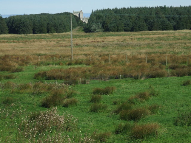
| Description | towards Cairnbulg Castle |
| Date | |
| Source | From geograph.org.uk |
| Author | Ken Fitlike |
| Permission (Reusing this file) |
Creative Commons Attribution Share-alike license 2.0 |
| Attribution (required by the licence) | Ken Fitlike / Towards Cairnbulg Castle / |
| Camera location | | View this and other nearby images on: OpenStreetMap |
|---|
_heading:45.00&language=en-gb)
| Object location | | View this and other nearby images on: OpenStreetMap |
|---|
_heading:45.00&language=en-gb)

|
This image was taken from the Geograph GB & Eire project collection. See this photograph's page on the Geograph website for the photographer's contact details. The copyright on this image is owned by Ken Fitlike, and is licensed for reuse under the Creative Commons Attribution Share-Alike 2.0 license.
|
This file is licensed under the Creative Commons Attribution-Share Alike 2.0 Generic licence.
Attribution: Ken Fitlike
- You are free:
- to share – to copy, distribute and transmit the work
- to remix – to adapt the work
- Under the following conditions:
- attribution – You must give appropriate credit, provide a link to the licence, and indicate if changes were made. You may do so in any reasonable manner, but not in any way that suggests the licensor endorses you or your use.
- share alike – If you remix, transform, or build upon the material, you must distribute your contributions under the same or compatible licence as the original.
Original upload log
The original description page was here. All following user names refer to en.wikipedia.
- 2007-06-19 20:30 Bobbacon 640×480×8 (96799 bytes) {{geograph|330044|Ken Fitlike}} Cairnbulg Castle in the background behind the trees.
File history
Click on a date/time to view the file as it appeared at that time.
| Date/Time | Thumbnail | Dimensions | User | Comment | |
|---|---|---|---|---|---|
| current | 12:45, 14 July 2008 | | 640 × 480 (95 KB) | wikimediacommons>Angusmclellan | {{Information |Description=towards Cairnbulg Castle |Source=From [http://www.geograph.org.uk/photo/330043 geograph.org.uk] |Date=2006-09-08 |Author=[http://www.geograph.org.uk/profile/7033 Ken Fitlike] |Permission=Creative Commons Attribution Share-alike |
File usage
There are no pages that use this file.