Croydon, Skateboard area in Wandle Park - geograph.org.uk - 1775830.jpg
From WhereToday Expounder
File:Croydon, Skateboard area in Wandle Park - geograph.org.uk - 1775830.jpg

Size of this preview: 800 × 600 pixels. Other resolutions: 320 × 240 pixels | 640 × 480 pixels | 1,024 × 768 pixels | 1,280 × 960 pixels | 2,560 × 1,920 pixels | 3,264 × 2,448 pixels.
Original file (3,264 × 2,448 pixels, file size: 4.16 MB, MIME type: image/jpeg)
Summary
| Description |
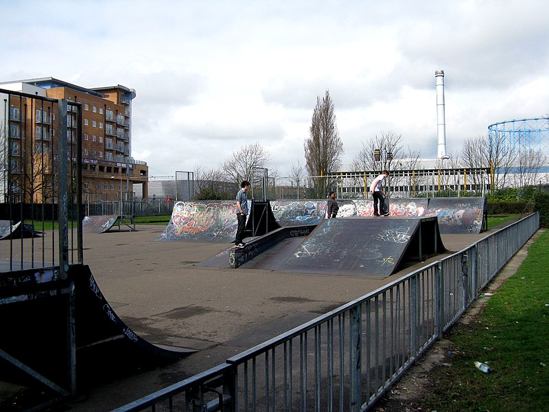
English: Croydon: Skateboard area in Wandle Park Also visible on the left is the new South Quarter development. |
| Date | |
| Source | From geograph.org.uk |
| Author | Dr Neil Clifton |
| Attribution (required by the licence) | Dr Neil Clifton / Croydon: Skateboard area in Wandle Park / |
| Camera location | | View this and other nearby images on: OpenStreetMap |
|---|
_heading:292.00&language=en-gb)
| Object location | | View this and other nearby images on: OpenStreetMap |
|---|
_heading:292.00&language=en-gb)
Licensing

|
This image was taken from the Geograph GB & Eire project collection. See this photograph's page on the Geograph website for the photographer's contact details. The copyright on this image is owned by Dr Neil Clifton, and is licensed for reuse under the Creative Commons Attribution Share-Alike 2.0 license.
|
This file is licensed under the Creative Commons Attribution-Share Alike 2.0 Generic licence.
Attribution: Dr Neil Clifton
- You are free:
- to share – to copy, distribute and transmit the work
- to remix – to adapt the work
- Under the following conditions:
- attribution – You must give appropriate credit, provide a link to the licence, and indicate if changes were made. You may do so in any reasonable manner, but not in any way that suggests the licensor endorses you or your use.
- share alike – If you remix, transform, or build upon the material, you must distribute your contributions under the same or compatible licence as the original.
File history
Click on a date/time to view the file as it appeared at that time.
| Date/Time | Thumbnail | Dimensions | User | Comment | |
|---|---|---|---|---|---|
| current | 22:47, 11 March 2011 | | 3,264 × 2,448 (4.16 MB) | wikimediacommons>GeographBot | == {{int:filedesc}} == {{Information |description={{en|1=Croydon: Skateboard area in Wandle Park Also visible on the left is the new South Quarter development.}} |date=2010-03-27 |source=From [http://www.geograph.org.uk/photo/1775830 geograph.org.uk] |au |
File usage
There are no pages that use this file.